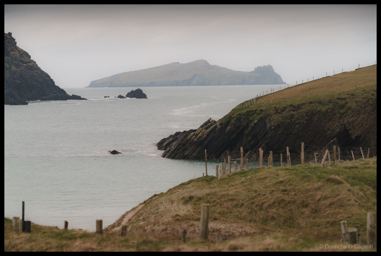
Dunquin’s Dramatic Edge

Dunquin Harbour is mostly photographed from the cliffs above because there is a narrow winding path that descends on a steep trajectory to sea level.

As I said previously in my photo of An Fear Marbh the sky was a monochrome grey but suddenly the clouds dispersed and some of the lovely light of the sunset leaked through. This is a bracketed shot I got from near sea level before rushing up the path to get a few more photos. 🙂

Dunquin Harbour served as the traditional departure point for boats traveling to the now-uninhabited Blasket Islands, with the last permanent residents leaving in 1953. The harbour’s dramatic location at the western tip of the Dingle Peninsula made it strategically important for accessing the islands, despite the challenging Atlantic conditions. The area is rich in Irish language and culture, being part of the Kerry Gaeltacht where Irish is still spoken as a community language. The distinctive rock formations visible in this photograph are part of the ancient geological structure of the Dingle Peninsula, composed primarily of Devonian sandstones and siltstones that were formed over 400 million years ago and shaped by countless Atlantic storms.


Apertureƒ/13
CameraILCE-7RM5
Focal length24mm
ISO100
Shutter speed1/5s

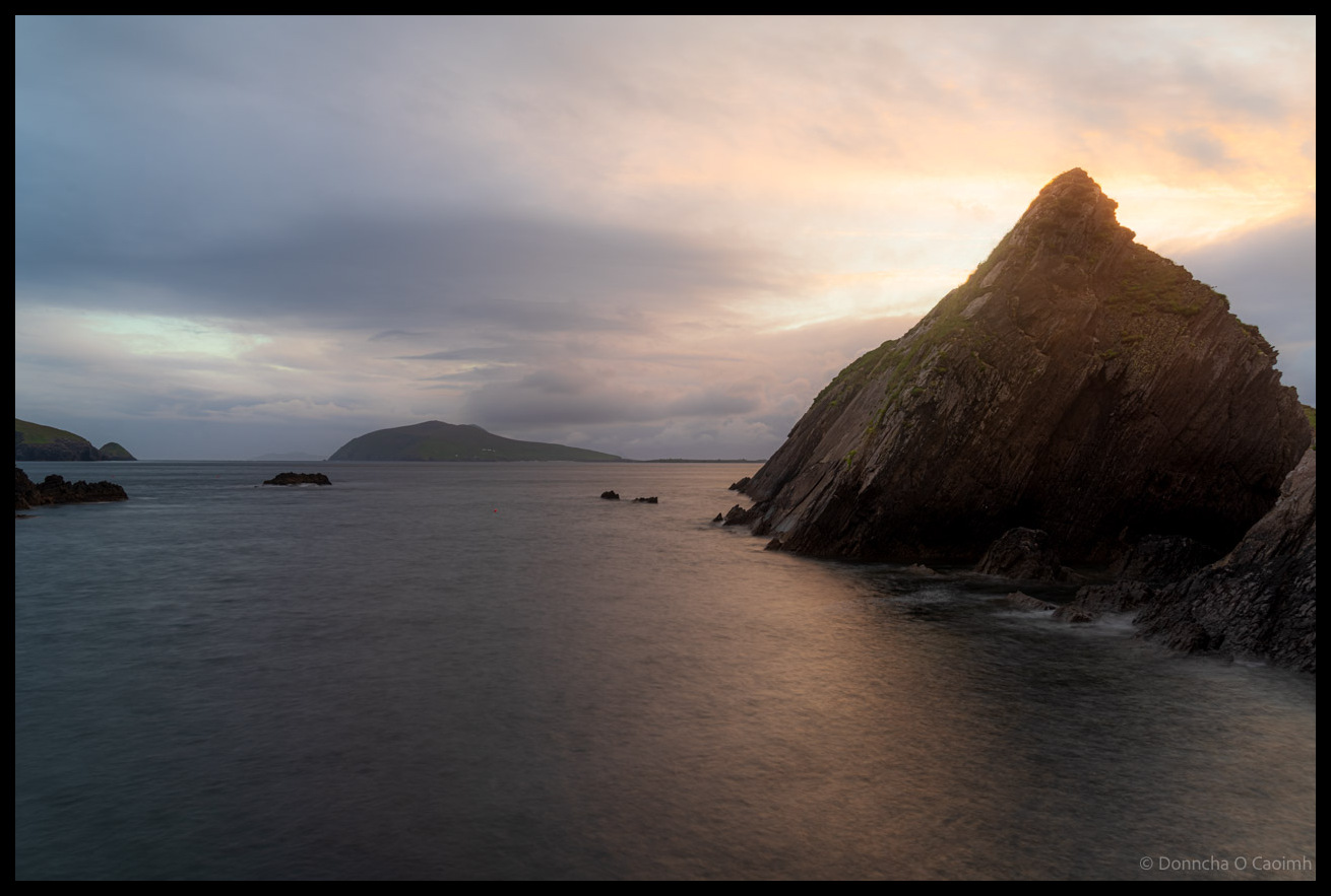
An Fear Marbh at Sunset

An Fear Marbh, or Inis Tuaiscerat (Inishtooskert in English) is an Island off the Dingle Peninsula, Co Kerry. I’ve photographed it many times but it’s a picturesque area so I’ll photograph it many more times I’m sure!


Apertureƒ/10
CameraILCE-7M3
Focal length150mm
ISO100
Shutter speed1/100s

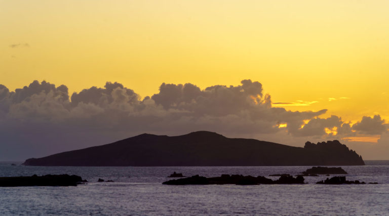
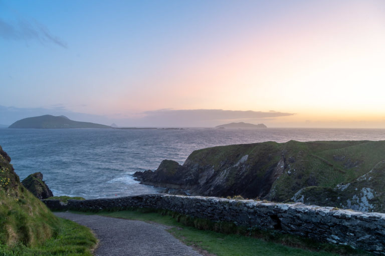
From Dunquin to The Blasket Islands

Shortly after the sun has set on Dunquin Pier in Kerry, looking out towards The Blasket Islands and An Fear Marbh.

Aperture ƒ/8
Camera ILCE-7M3
Focal length 24mm
ISO 100
Shutter speed 1/13s