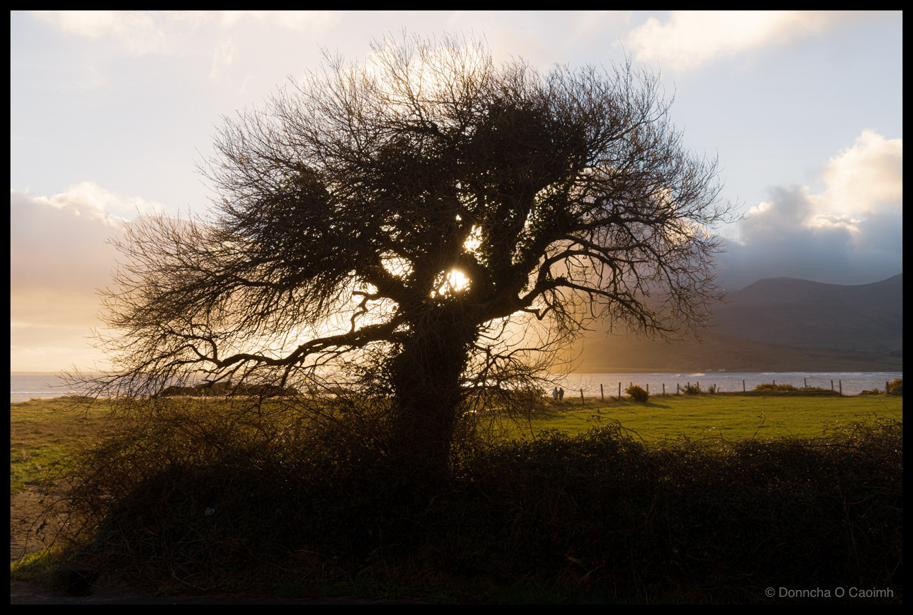
The Cappagh Sentinel
The sun had risen about 40 minutes before and we were about to leave Cappagh Beach on the Dingle Peninsula when I saw a tree silhouetted against the sun.
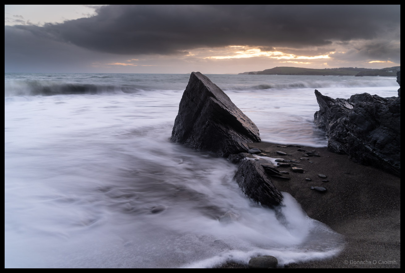
Storm Light Over Owenahincha
Waves broke on the rocks at the edge of Owenahincha Beach a month ago.
Rocks in the Misty Surf of West Cork
The restless Atlantic waves become ghostly veils of white mist caressing the rocks on Owenahincha Beach, Co Cork. Henry shared a photo of this same rock yesterday. There are lovely swirls of water in his photo.
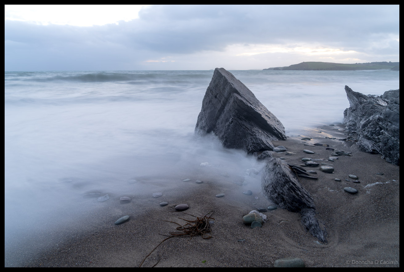
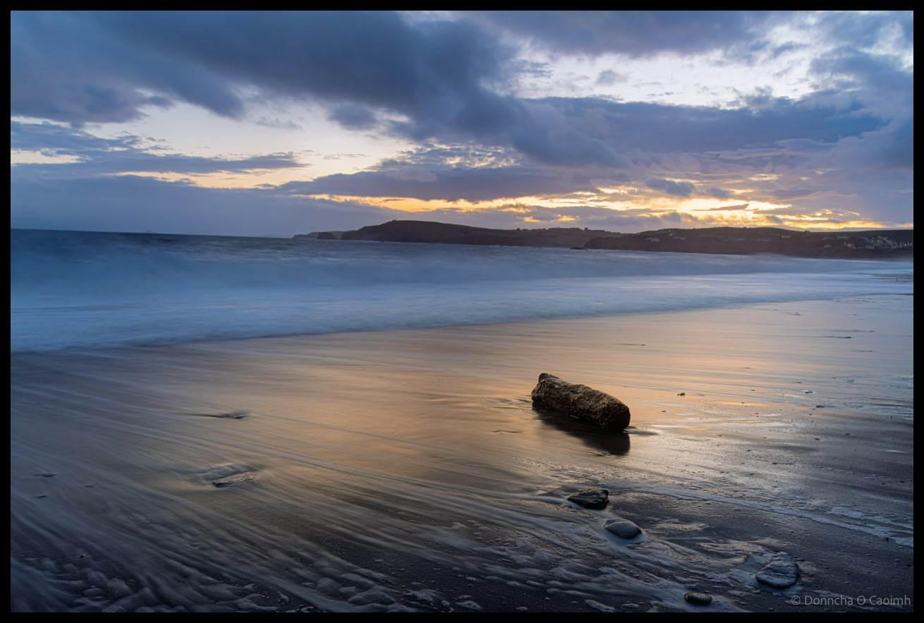
Driftwood at Owenahincha
Last night Blarney Photography Club travelled to Owenahincha Beach to do some seascapes. We hoped to do some Milky Way photography later in the evening too but cloud cover got thicker and after some socialising in the nearby Celtic Ross Hotel we went home.
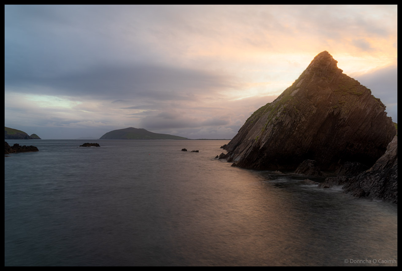
Dunquin’s Dramatic Edge
Dunquin Harbour is mostly photographed from the cliffs above because there is a narrow winding path that descends on a steep trajectory to sea level. As I said previously in my photo of An Fear Marbh the sky was a monochrome grey but suddenly the clouds dispersed and some of the lovely light of the…